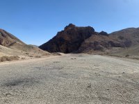
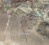
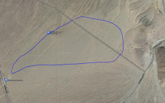
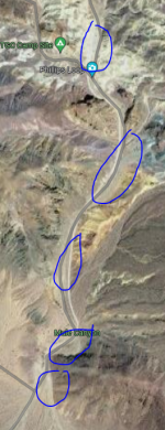
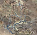
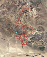
From Rasor Rd you head East from the Shell station. The road loops back around the hills and heads south east toward the camping area. It's only about 6 miles from the freeway but the road is pretty beat up rock and asphalt then it turns to dirt with some soft sections. With a trailer or RV you're only able to drive 5-10mph through the rough sections due to the condition of the road. IIRC it would take us 45mins or so to get there once you exit the freeway. Everyone usually camps around the hills here: 35.0972955, -116.1370786.
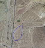
From Basin Rd you head South less than a mile and there's a smaller open area to camp on the left near the BLM sign. As Ray said it does get very soft in certain areas so be sure to scope out where you want to park before you pull off the graded road.
The Rasor Rd side has better camping spots but is harder to get to, the Basin Rd side is easier to get to but more limited on space to camp.
Here's a link to the BLM guide and map of the area...
https://www.blm.gov/sites/blm.gov/files/documents/files/Rasor_Mobile_Final.pdf
Due to the remote location this area is not very popular but well worth the trek. It never gets crowded, total opposite of glamis. If you have never been, I'd recommend that you go scope it out in a truck one day before your trip. Calico might be a safer bet for the ease of access.

